


Yuma 11, Yuma County, Colorado
About
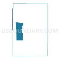
Outline

Summary
| Unique Area Identifier | 549421 |
| Name | Yuma 11 |
| County | Yuma County |
| State | Colorado |
| Area (square miles) | 136.56 |
| Land Area (square miles) | 136.50 |
| Water Area (square miles) | 0.06 |
| % of Land Area | 99.96 |
| % of Water Area | 0.04 |
| Latitude of the Internal Point | 39.97296590 |
| Longtitude of the Internal Point | -102.62794550 |
Maps


Graphs
Select a template below for downloading or customizing gragh for Yuma 11, Yuma County, Colorado


Neighbors
Neighoring Voting District (by Name) Neighboring Voting District on the Map
- Yuma 10, Yuma County, CO
- Yuma 13, Yuma County, CO
- Yuma 14, Yuma County, CO
- Yuma 3, Yuma County, CO
- Yuma 4, Yuma County, CO